
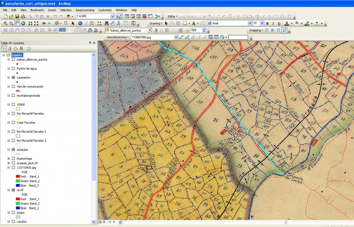
During 2015 the research on historical archival documentation has provided new information about the historical parcels. In the case of Rio Monachil, the parcels system from the beginning of the XX century have been fully digitalised, allowing to plan and perform spatial analysis of the parcels distribution in order to study their evolution and relation to the historical water administration of the different traditional irrigation systems.