
Historical/current land use
You are here
About the agricultural use of the land, the first evidence is the exploitation of the landscape by the Neolithic settlements, but only from Roman times (second century BC.), with the introduction of new crop varieties, the advent of mining and exploitation of thermal resources, the territory clearly showed signs of man's presence. During the Middle Ages most of the crops suffered a decline, taking effect until the year 1000. In 1100 he was made the first consortium of reclamation. The domain of the Republic of Venice gave further impetus to the land reclamation and agriculture in the plains and hills. At the end of Venetian rule incorporates the phenomenon of cropland that continues until its annexation to the Kingdom of Italy, a time after which begins a slow economic recovery.
After World War II, the land use is characterized by the explosion of mining activity. At the same time we are witnessing the expansion of arable land at the expense of agricultural tree crops, meadows and pastures, until the development of viticulture specialist in the years 1960-70.
In the last thirty years, the crops have undergone a progressive decline, with a considerable increase of the settlements and uncultivated zones. The first especially in the lowland and foothill areas, the uncultivated areas in marginal areas characterized by difficult access to the cultivation. Represented by bushy forms of meadows and pastures, also testifies the crisis of animal husbandry hilly, now almost deserted, except for an only flock twice a year in the South Hills.
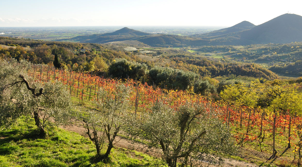
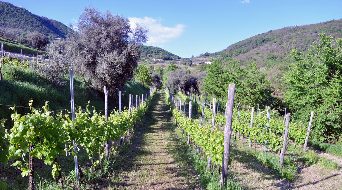
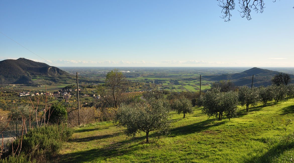
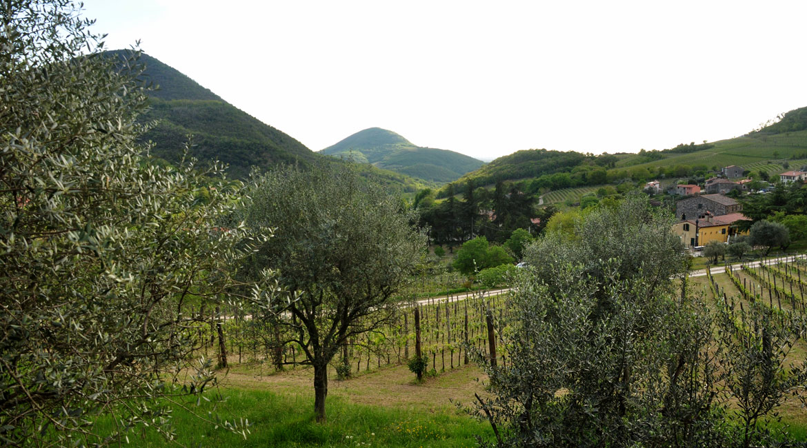
The current agricultural landscape was divided into thirteen types, distributed in four major land uses (viticulture, arable land, arable land and lives, arable and meadow, olives). The major crops in the 15 municipalities of the Euganean Hills Park are represented by arable land (13070 ha), especially maize (7529 ha) and soybean (1101 ha) (data of Agriculture Census 2000 prepared by Agenda 21 in 2003).