
Past land use-Baronia
You are here
Description:
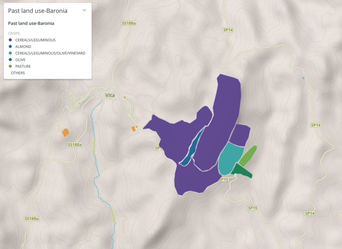
Past land use map of Baronia study area (Monti di Trapani) generated by the farmers based on their local knowledge. This information was used to assess the role of local farmers knowledge and perceptions on soil for the historical land use through the spatial distribution of crops and the various management practices. More details can be found in D6.3.
|
Attributes |
Description |
Unit |
|---|---|---|
|
Crop |
Past crops identified by farmers in the area |
|
Permalink:
Past land use-Baronia
Dataset preview:
 Unless otherwise indicated, all materials available on this page is licensed under a Creative Commons Attribution 4.0 International License.