
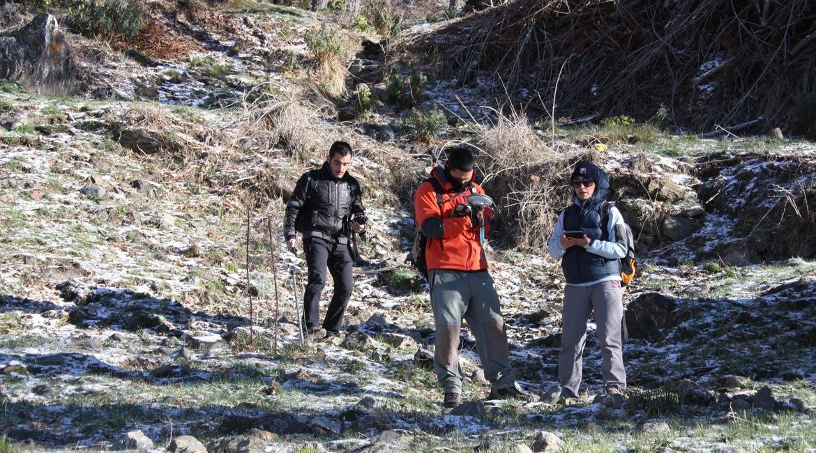
The search and study of hydraulic systems aims to analyze and understand the historical uses of water. The implementation of an hydraulic survey in this area consisted of a topographic survey of the historical irrigation systems running through the territory, using GPS technology. The data gathered has been digitized with its corresponding alphanumeric information, using Geographic Information Systems (GIS).