
5
May
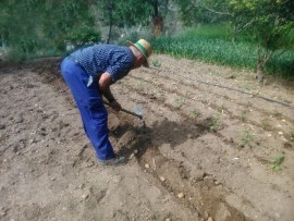
Local potato variety called "copo de nieve" recovery campaign
The MEMOLA project supports the initiative of National Park of Sierra Nevada to recuperate the local potato variety called "copo de nieve" (snowflake)
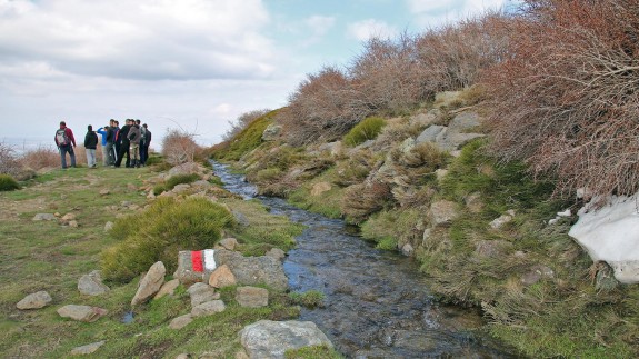
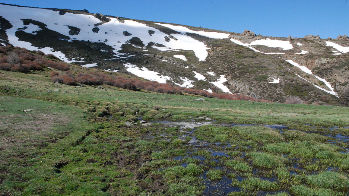
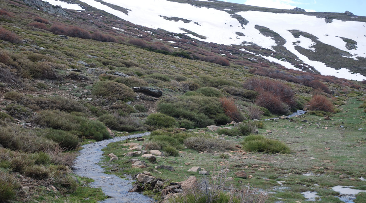
Lugros is located over 1200 meters above the sea level, on the northern slope of Sierra Nevada and the headwaters of the Alhama de Guadix river, which originates at the top of the municipality, under the peak called Picón de Jérez. A site of special natural and cultural interest named La Dehesa del Camarate.
The origins of this village are dated in the late antique period, when following the fall of the Roman Empire, the mountainous areas were occupied and the metallurgic and mining activities reactivated. Since the Islamic conquest in the 8th century, the construction of a complex hydraulic system produced important transformations in the landscapes. This system begins in the high peaks, producing an artificial recharge of the aquifer ( careos), and continues with two main irrigation channels ( Guadix and Jaral). These historical channels carried the water of the Alhama river to the crops of seven andalusí farmhouses ( called alquerias). Today, out of these seven alquerías only three villages remain.
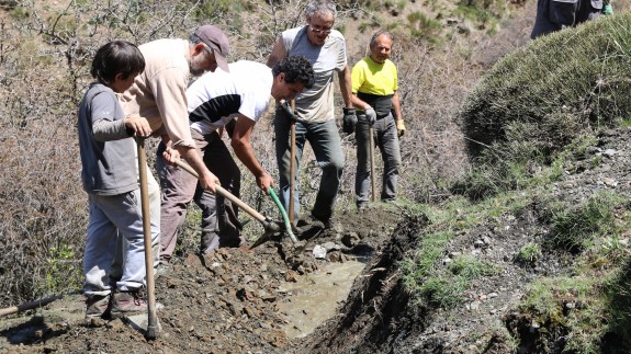
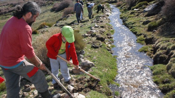
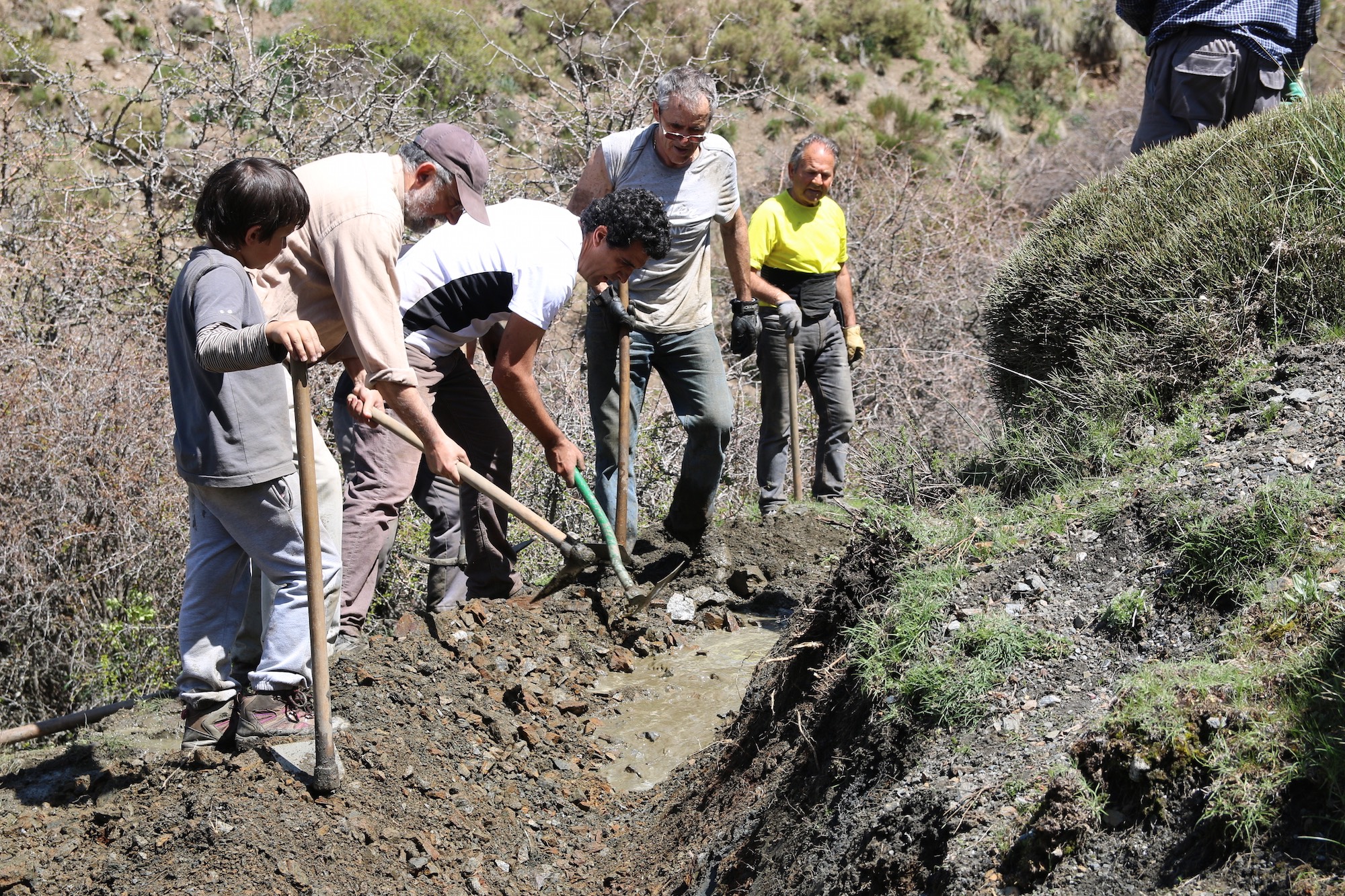
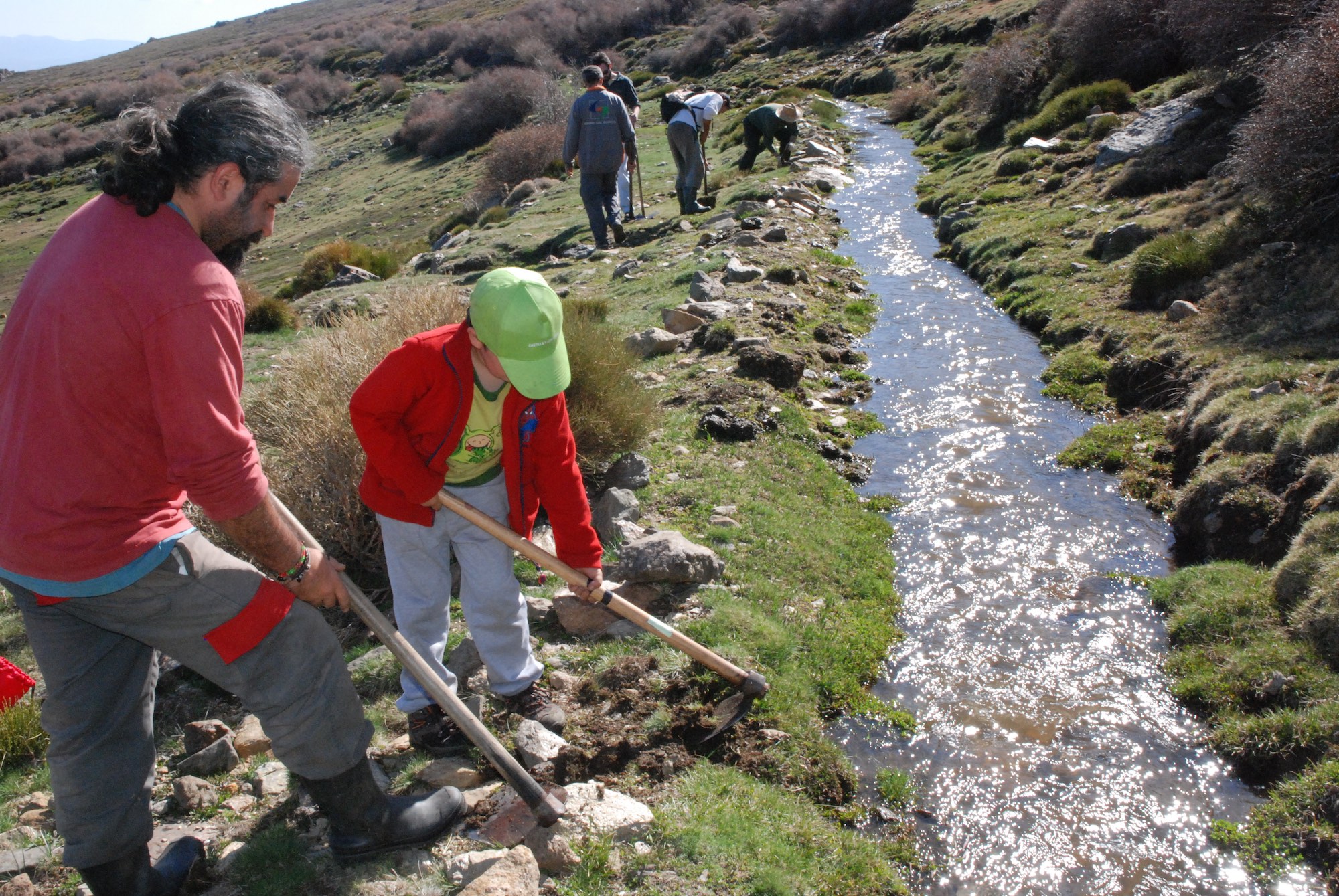
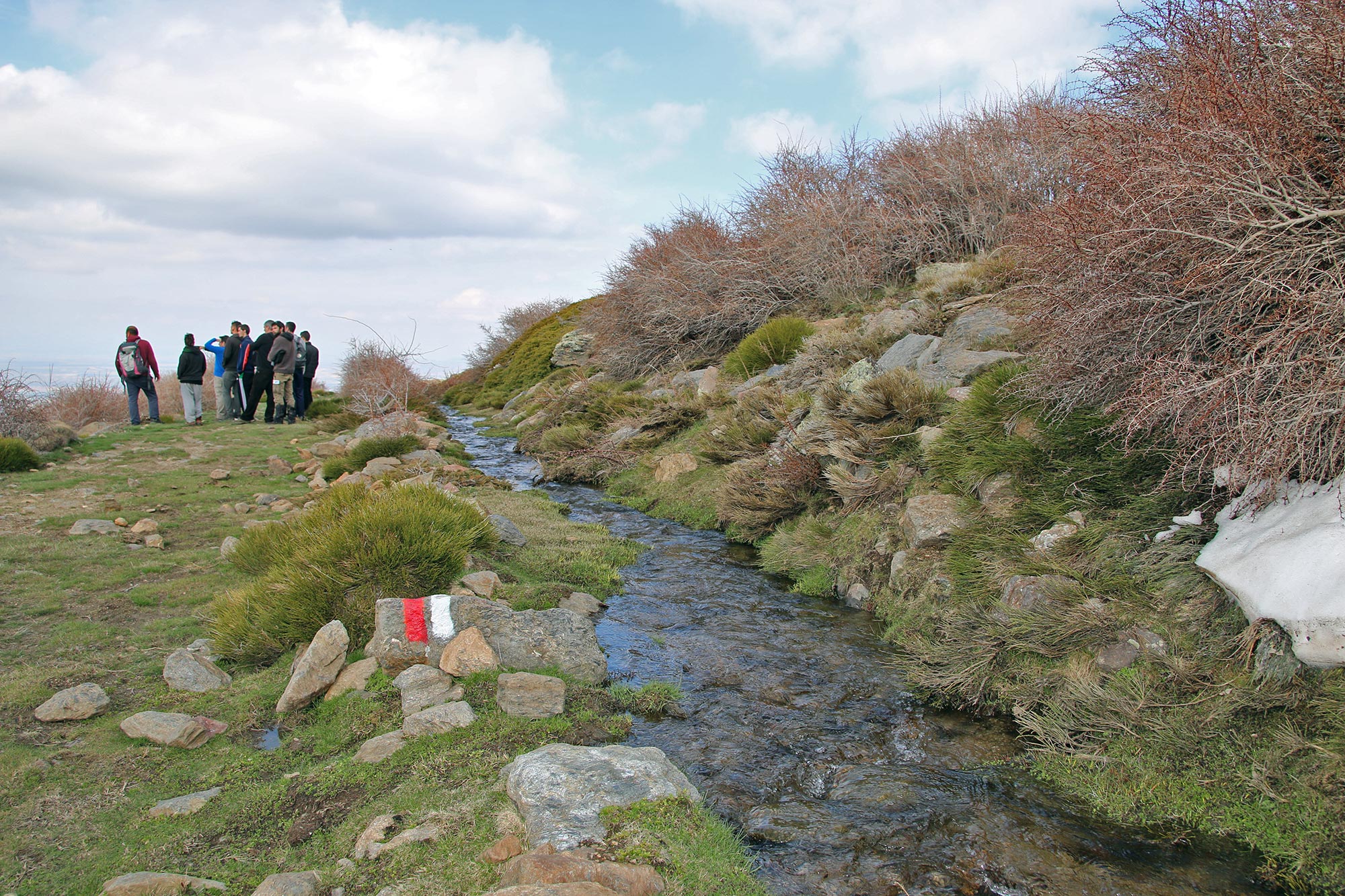
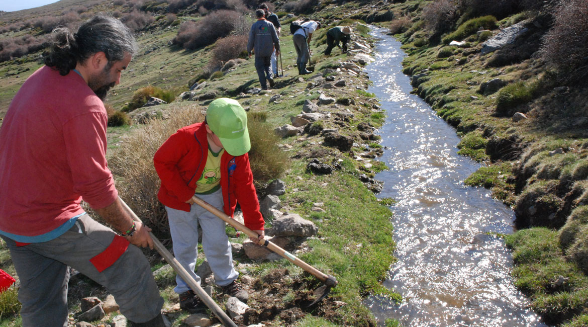
With two weeks of activity we recovered two traditional irrigation channel with a total of 3,5 km, located at 1700 meters of altitude, abandoned forty years ago.
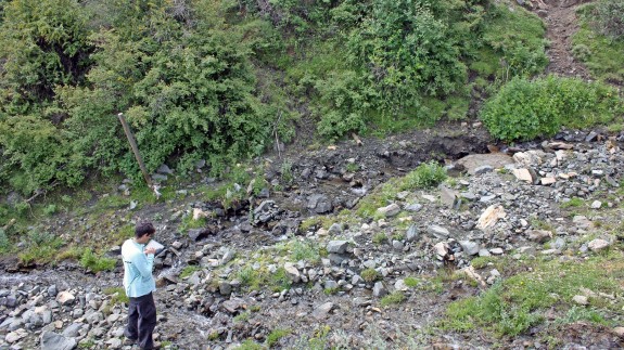
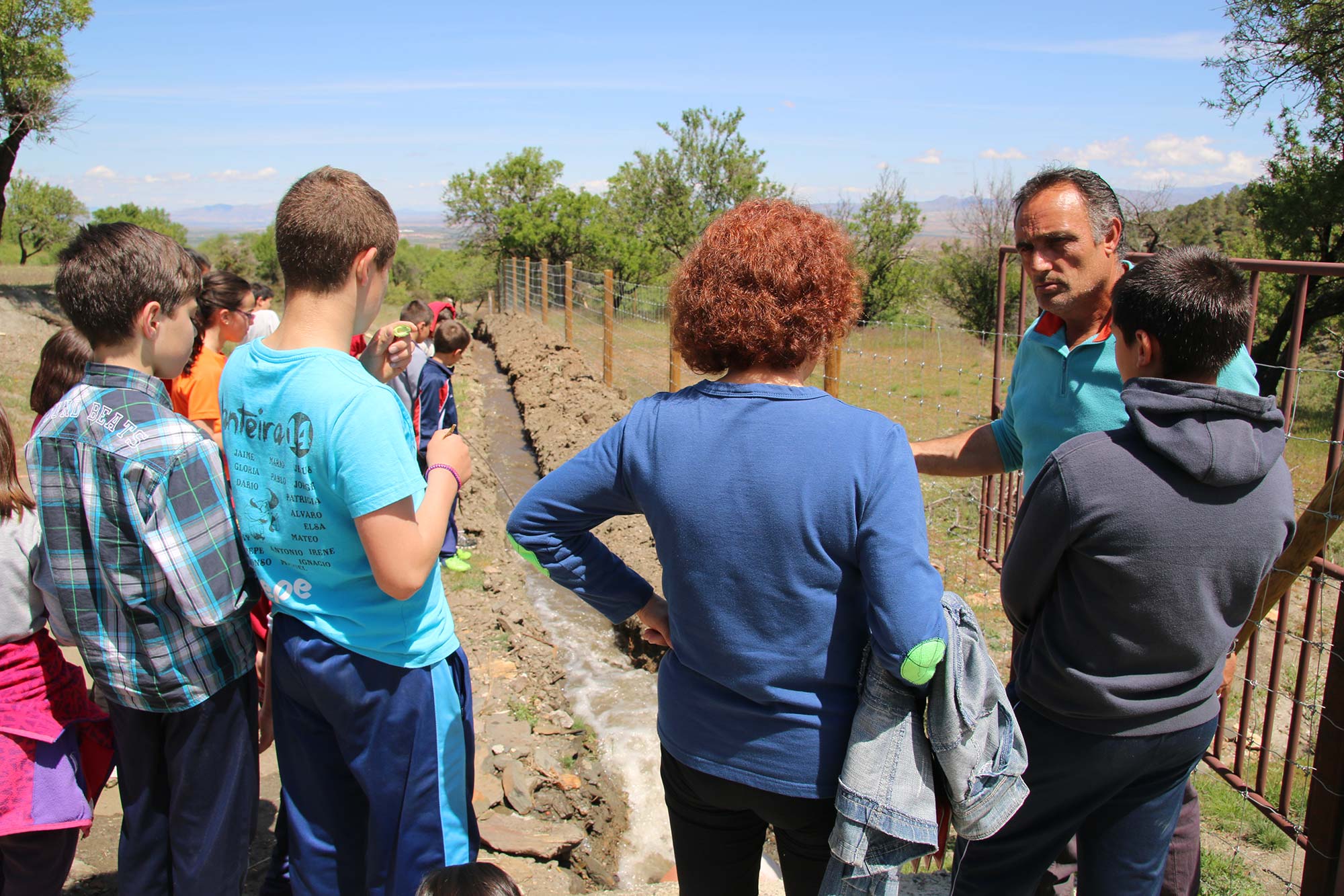
With the aim to analyse the historical uses of water we conducted an hydraulic survey of the historical irrigation systems, using GPS technology.
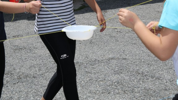
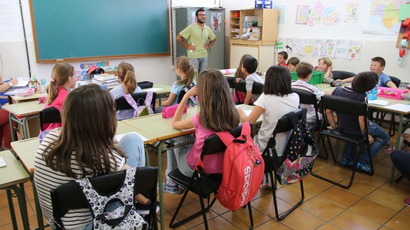
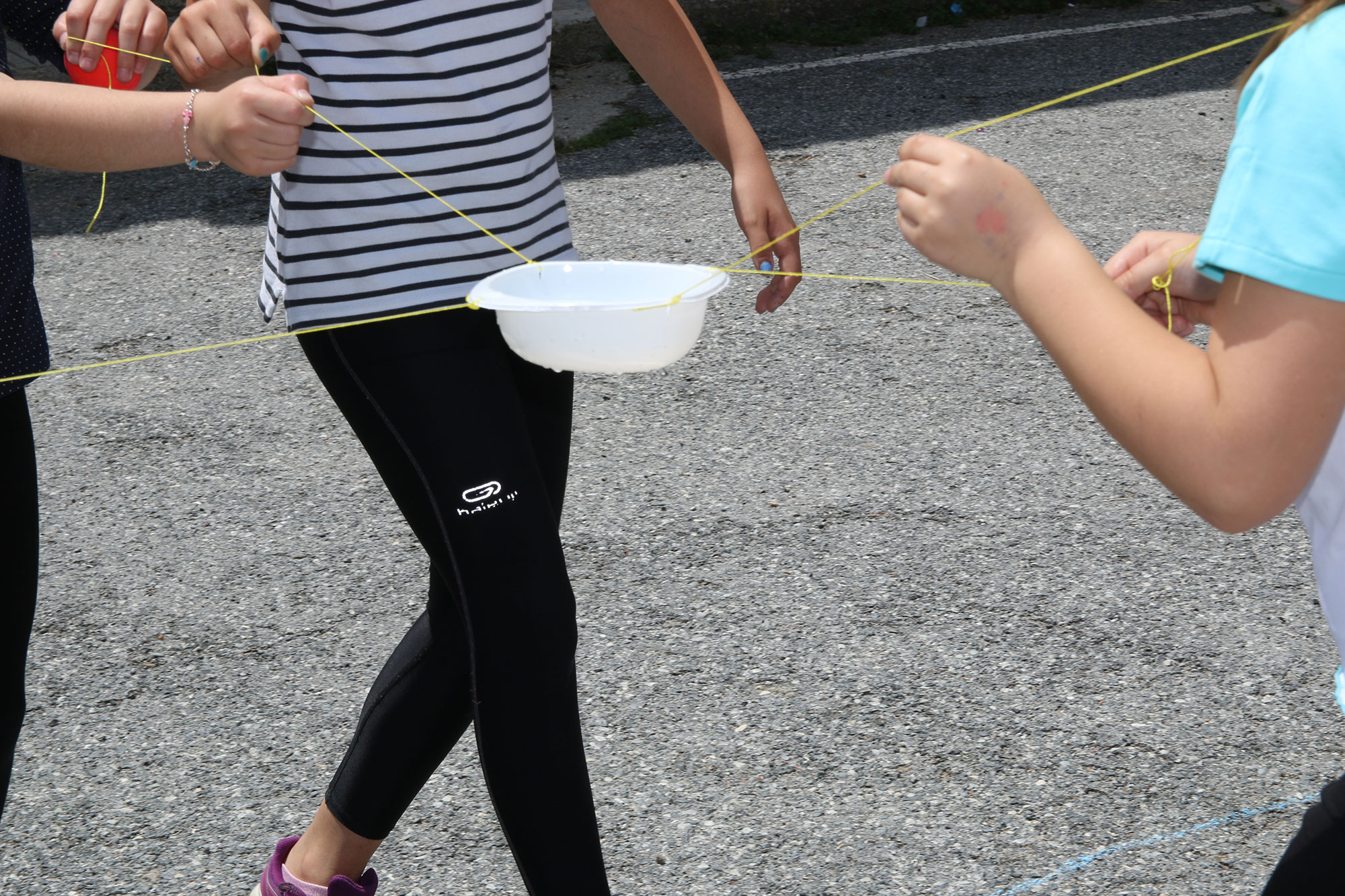
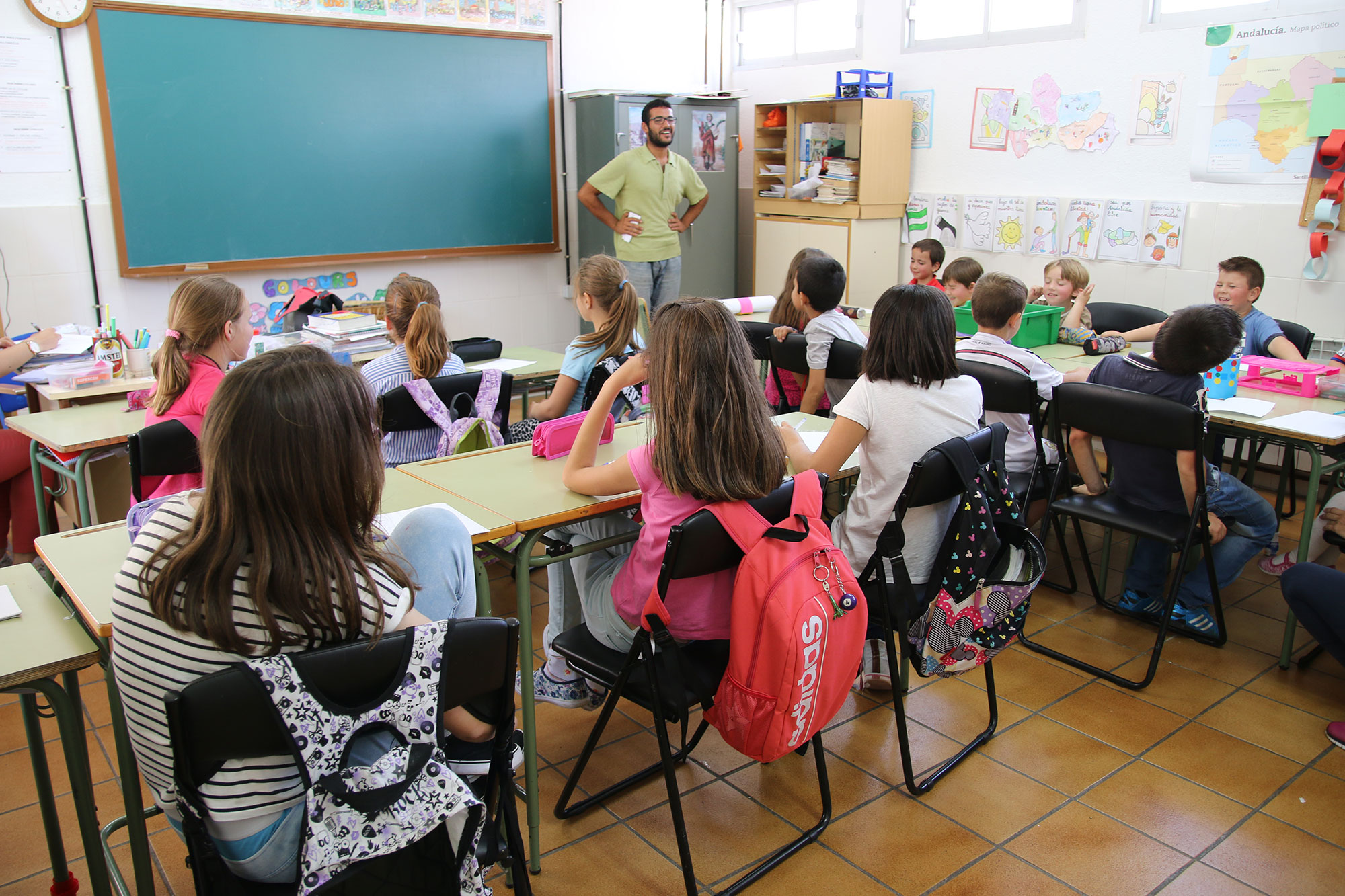
Students of Sierra Blanca School (Lugros, Granada) learned about the traditional irrigation systems through cooperative games.
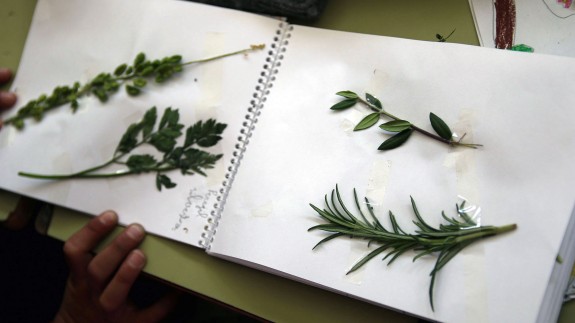
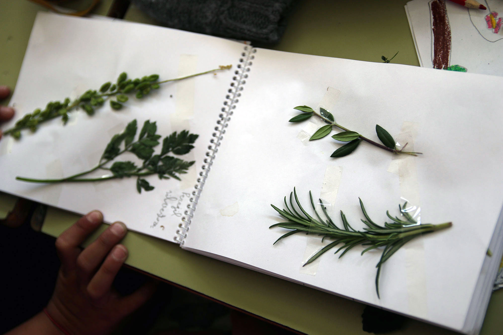
Students of Sierra Blanca School (Lugros, Granada) develop a field notebooks about their Cultural Landscapes.
Students of differents educative center of the study area of Sierra Nevada designed their ideal model of exhibition about the traditional irrigation systems.
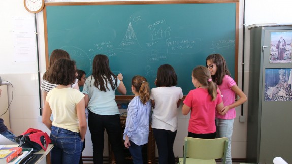
At the Sierra Blanca School in Lugros (Granada) we carry out a StoryTelling about the historical irrigation system.
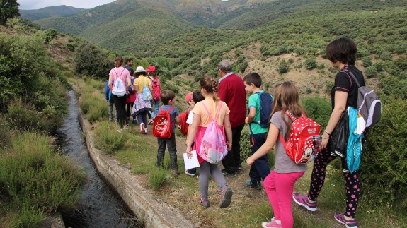
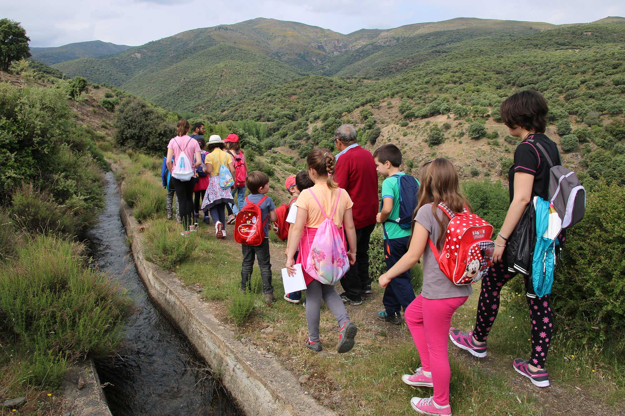
Students of Sierra Blanca School (Lugros, Granada) visit their Cultural Landscapes with the president of the Local Irrigator Community.
The elderly pass their knowledge about cultural landscape management to students of different educational levels in the study area of Sierra Nevada.
The project MEMOLA collaborates in cleaning the traditional irrigation systems in High Mountain with the irrigator communities of Lugros and Guadix.
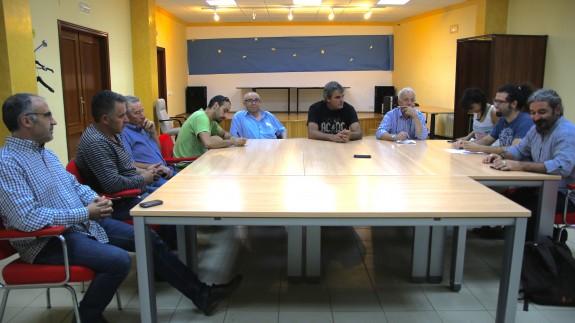
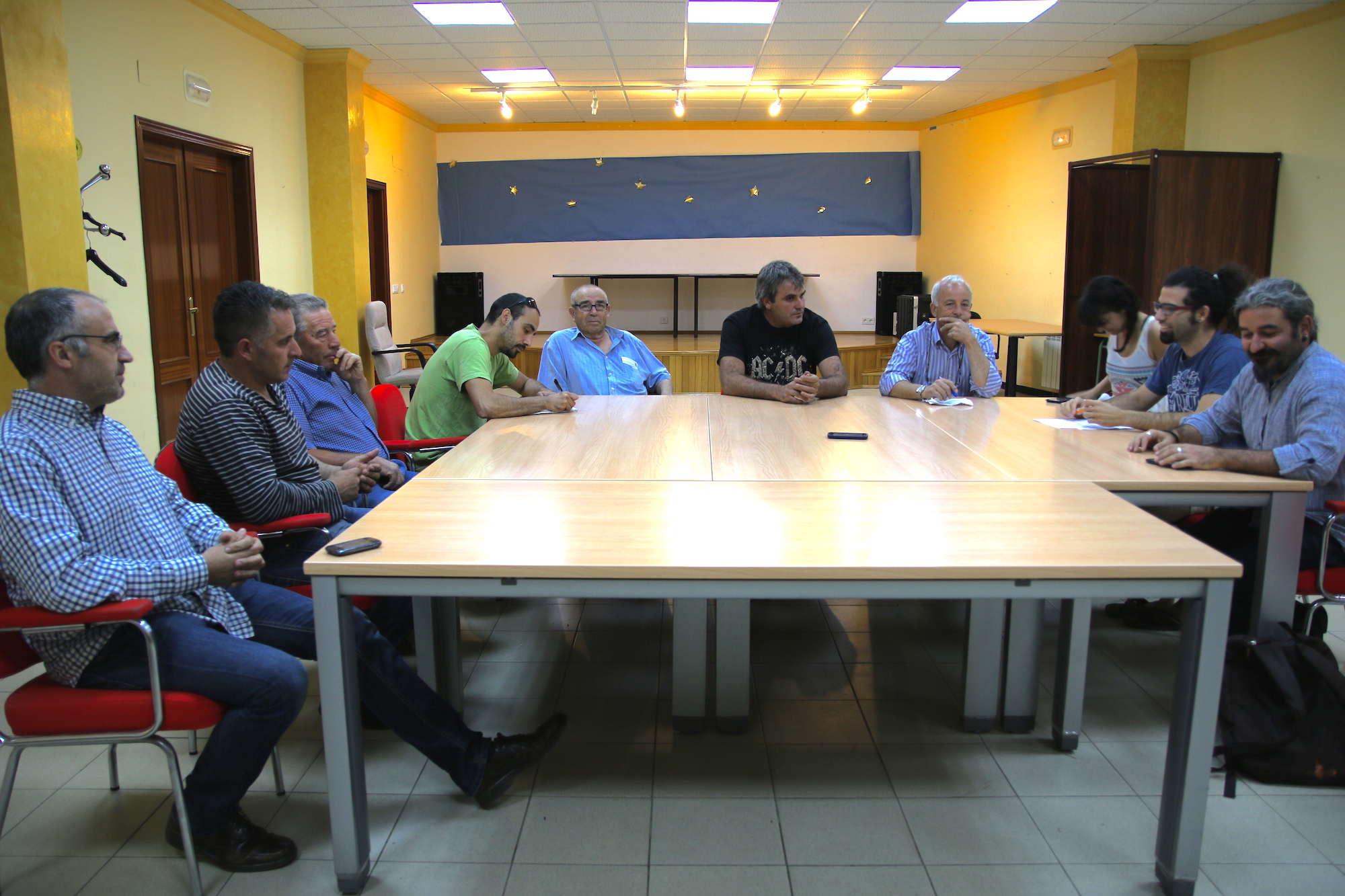
Discussion groups with, among others, the MEMOLA coordinator, the mayor of Lugros, UNESCO Andalucia, Irrigator Communities of Lugros and Cáñar.
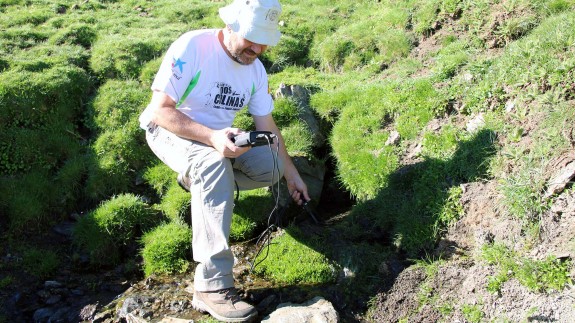
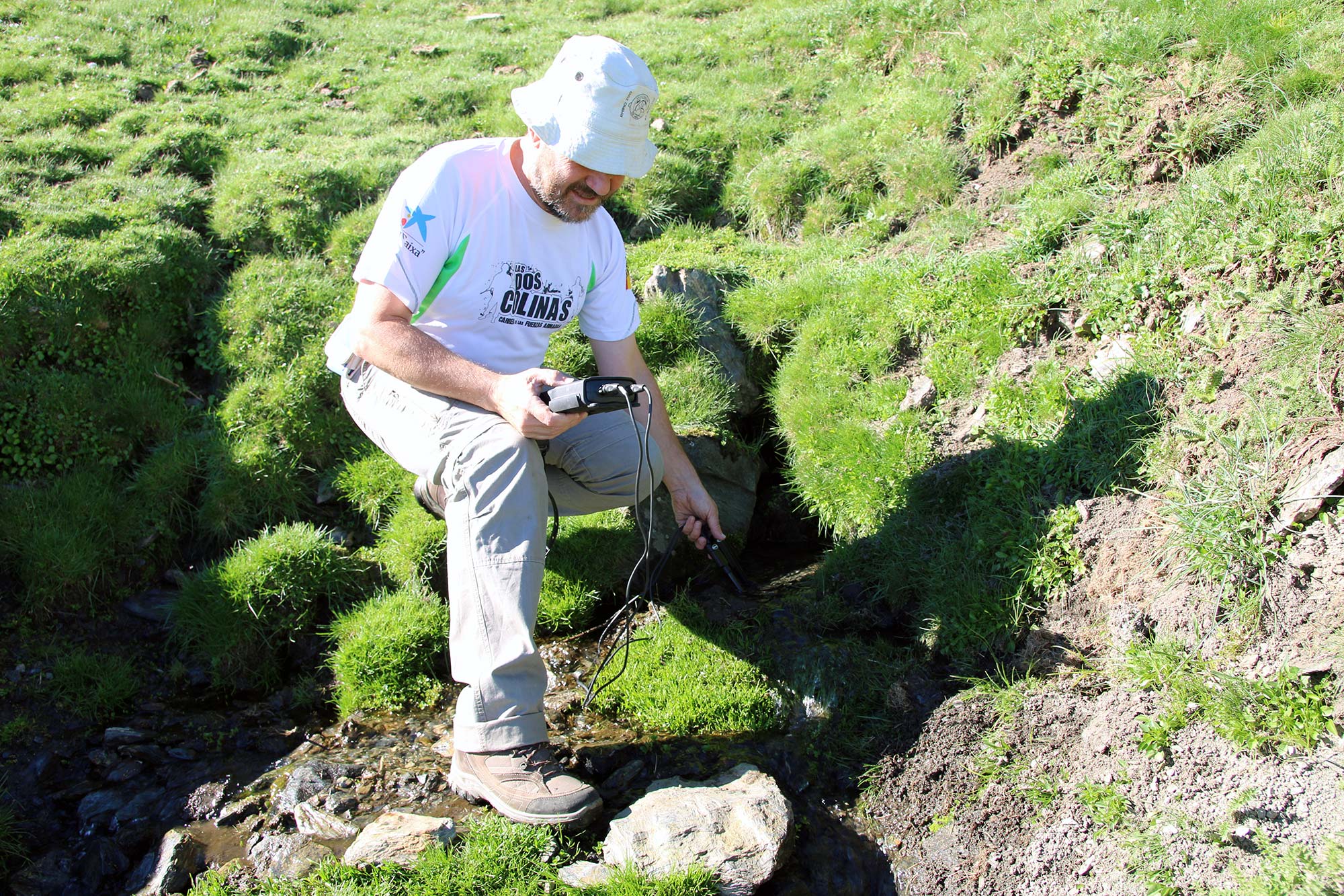
The Spanish Geological and Mining Institute (IGME) study the flow of the traditional irrigation system of Lugros.
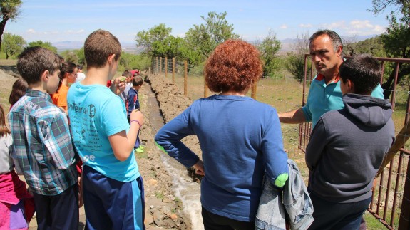
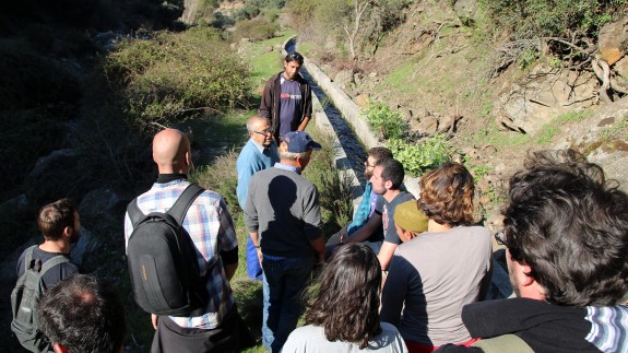
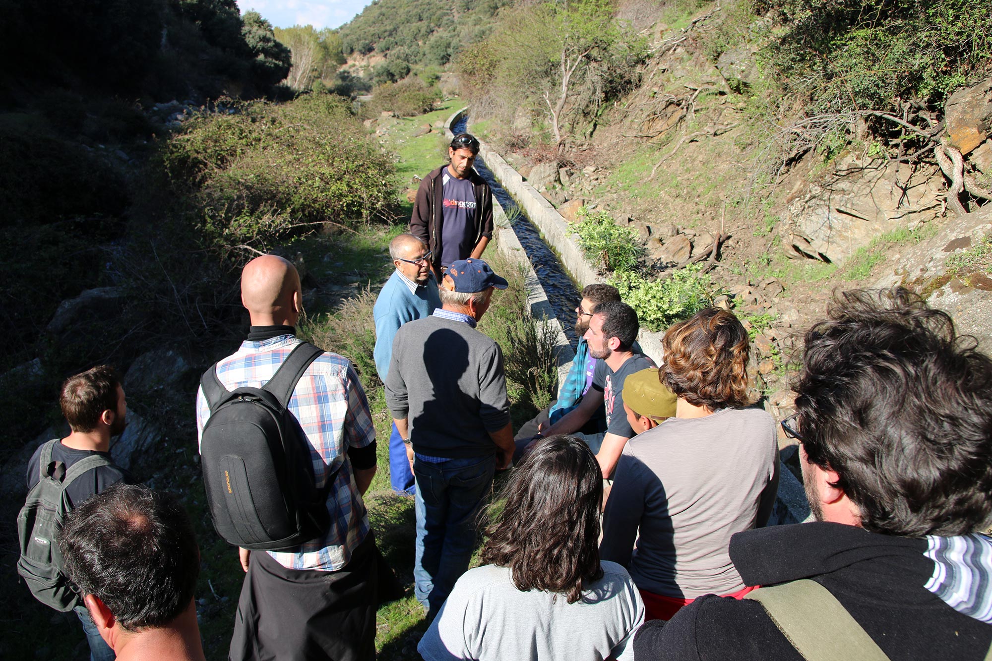
UGR organized a guided tour with the local irrigator community to the volunteers that took part in the recovery of the traditional irrigation channel in Lugros.
UGR organised a guided tour with the local irrigator community about the historical irrigation systems in high mountain (Lugros, Granada).
The MEMOLA project supports the initiative of National Park of Sierra Nevada to recuperate the local potato variety called "copo de nieve" (snowflake)
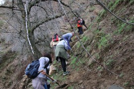
Recuperación de la acequia de careo del Camarate en Lugros, que llevaba cuarenta años abandonada.
El 16 de abril de 2014 estuvimos en Lugros (Guadix-Granada), situado a más de 1.200 metros de altitud en la falda norte de Sierra Nevada.